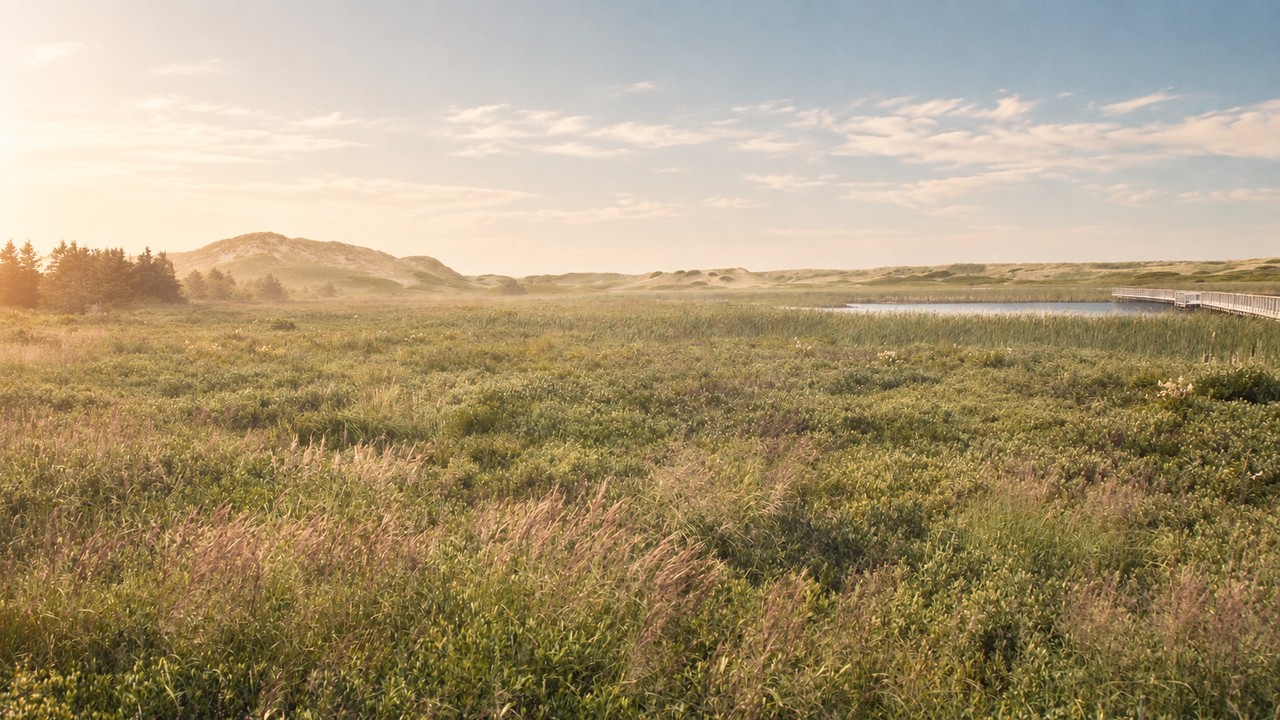
Each image is an AI-assisted artistic adaptation of the original photograph: lighting, colour, atmosphere and framing were changed, and people were removed from some scenes. They are not unaltered documentary photographs. Adapted images are shared under the same licence as the original.
- Harold’s Point, Killbear Provincial Park, Georgian Bay, OntarioPhoto by Andre Carrotflower, Wikimedia Commons, CC BY-SA 4.0
- Cache Lake lookout, Algonquin Provincial Park, OntarioPhoto by Dan Dickinson, Wikimedia Commons, CC BY 2.0
- West end of Davy Island, Killbear Provincial Park, Georgian Bay, OntarioPhoto by Andre Carrotflower, Wikimedia Commons, CC BY-SA 4.0
- Sandbanks Provincial Park dunes, Prince Edward County, OntarioPhoto by Jasonpettit, Wikimedia Commons, CC BY-SA 4.0
- Indian Head Cove, west side looking east, Bruce Peninsula National Park, OntarioPhoto by Makeworldpedia, Wikimedia Commons, CC BY-SA 4.0
- Rock Island viewed from Agawa Rock, Lake Superior Provincial Park, OntarioPhoto by Bramptonboi, Wikimedia Commons, CC BY-SA 4.0
- Long Beach, Pacific Rim National Park Reserve, British ColumbiaPhoto by Kyla Duhamel from Saskatoon, Canada, Wikimedia Commons, CC BY 2.0
- Moraine Lake, Banff National Park, AlbertaPhoto by Dylannother, Wikimedia Commons, CC BY-SA 4.0
- Tombstone Mountain and North Klondike River valley, Tombstone Territorial Park, YukonPhoto by Atomic7732, Wikimedia Commons, CC BY-SA 4.0
- Flowerpot Island sea stack, Fathom Five National Marine Park, OntarioPhoto by WabbitWanderer from London, Canada, Wikimedia Commons, CC BY-SA 2.0
- Cabot Trail viewed from the Skyline Trail, Cape Breton Highlands National Park, Nova ScotiaPhoto by WabbitWanderer from London, Canada, Wikimedia Commons, CC BY-SA 2.0
- Greenwich dunes, Prince Edward Island National Park, Prince Edward IslandPhoto by Andrea Schaffer from Sydney, Australia, Wikimedia Commons, CC BY 2.0

.jpg)


.jpg)


.jpg)
.jpg)
.jpg)